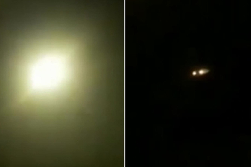
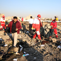
Objavljen snimak trenutka kada je raketa u Iranu pogodila ukrajinski avion

The buildings to the left of the camera were constructed after the most recent Google Earth satellite image (September 2019), and are visible in a Terraserver satellite image. You can see our approximate geolocation on Google Maps here:https://t.co/667LS2KWd7 pic.twitter.com/hFVeIHHxJQ
— Bellingcat (@bellingcat) January 9, 2020
Moment of #UkrainianBoeing crash in #Iran caught on #CCTV
— RT (@RT_com) January 9, 2020
MORE: https://t.co/A0wvGMvuCm pic.twitter.com/7hVU2je5dm
We are analyzing this new video supposedly showing a mid-air explosion. By our initial estimation, the video shows an apartment block in western Parand (35.489414, 50.906917), facing northeast. This perspective is directed approximately towards the known trajectory of #PS752. pic.twitter.com/nDvjRIkFU4
— Bellingcat (@bellingcat) January 9, 2020
Ipak, i Donald Trump i Trudeau su kazali kako ovo vjerovatno nije učinjeno namjerno, ali da će istraga pokazati šta se tačno dogodilo.


